It will be hard to sell tickets for rides at Coney Island if rising sea levels mean most of them are underwater. But that’s what the future could look like, according to a tremendously detailed new map from Brooklyn developers Madelena Mak and David McCreery.
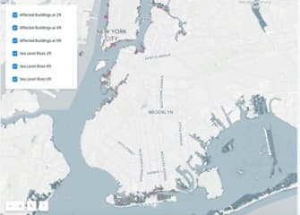
The map shows where the shoreline will be in New York with a two-foot, four-foot and six-foot sea level rise. It also shows how which buildings, valued at how much money, would be inundated at those levels. The numbers are … high.
At four feet much of the Brooklyn Navy Yard is underwater, as are parts of Sunset Park’s Industry City. Nearly all the streets on Coney Island and Brighton Beach are submerged. At six feet, both those neighborhoods have ceased to exist and are basically just slivers of barrier islands. Much of the New York Harbor-facing blocks of Red Hook are underwater. Up in Greenpoint Newtown Creek has broadened significantly, nibbling away blocks both on the Brooklyn and Queens side and ending in something more like a lake in Ridgewood. At the same time, a six-foot sea level rise would mean about 10,000 buildings with an assessed value of more than $100 billion underwater.
READ FULL ARTICLE HERE


